Complex Geophysical Site Investigations
Once the pre-feasibility research has identified an area deemed suitable for an Offshore Field Development Project – a Complex Geophysical Site Investigation must be launched to carefully evaluate the proposed construction site based on solid data gathered through a series of studies utilizing multiple survey equipment (Multibeam echosounder, Side scan sonar, Sub bottom profiling system, Magnetometer) and techniques (geophysics and seabed sampling).
Depending on the actual type of the development project (wind farm foundation, well site exploration, cable lay by the plow, etc.) the geophysical investigation becomes more specific and narrower focused, however, one of the main goals of the entire project is to keep any associated risks as low as practically possible. Therefore, the highest consideration is given to detection and avoidance of any potential surface and subsurface hazards – Geohazards:
● Shallow Gas and Liquid Flows
Near-surface gas or hydrates (ice-like mixture of gas and water) deposits are extremely dangerous and usually originate from much deeper located reservoirs yet can also be the result of a rapid sediments deposition and biogenic activity in the upper sediments layer. In certain areas, the gas/liquid flows can reach large enough volumes to start escaping through the seabed.
● Near Surface Faults
Creating localized “weak” spots on the seabed where the sediments are extremely unstable and the potential for structural failures or mass movement of unconsolidated surface material permanently exists.
● Sediment strength
To support the weight of an offshore installation providing sufficient shear capacity for its foundation interfacing with the seabed the composition of the sediments should be assessed to be not too soft and not too hard either. Enough room should be available to place the needed length of the offshore structure legs into the upper layer of soft sediments (such as mud, clay, or sand) before it enters the bedrock layer (hard silt, limestone, coral reef, etc.).
● Historical rivers and glaciers
Filled with clay or sand the submerged river channels represent a highly mobile seabed type that may not be suitable to host an offshore structure. Glacial boulders are an obvious hazard type that needs to be identified and avoided.
● Water bottom anomalies
The seabed topography features such as steep slopes, trenches, ridges, and pockmarks are all potential inconveniences (to the very least) for the subsurface engineering that needed to be assessed and were deemed critical avoided by relocating the construction to a more suitable seabed surface area.
● Man-made objects
Buried and surface-located pipelines, cables, broken shipwreck debris are quite common for the coastal environments.
The geohazards vary in their shapes and forms and are located at different subsurface depth layers and exhibit different characteristics – one hazard type can easily be interpreted with the application of a certain surveying technique yet remain completely undetectable for another. Because of that, only a multidisciplinary study of the proposed site location with some sensors and techniques overlapping in their results can guarantee the best location selection and confident identification and avoidance of the geohazard.
Our survey team has experience and expertise in conducting complex geophysical site investigations gathering the data on the seabed bathymetry, sediments composition immediately beneath the seabed surface, and detection of any surface laying or shallow buried hazardous objects. We can also obtain valuable information on the near-surface geological cross-section to evaluate the sediment strength (derived from the subsurface sediments stratification), assess the depth of the hard bedrock layer, and scan for the under-laying subsurface hazards (such as buried boulders or geological faults and shallow gas deposits).
Depending on the site’s local geology the mission can be accomplished either through the use of a Hull Mounted Subbottom Profiler (10 kHz), Broad Beam Towed Chirp System (3 – 7 kHz), or Towed Boomer / Sparker Subbottom Profiling System (0.4 – 2 kHz). Each of the systems has its advantages and disadvantages naturally rising from balancing between its ground penetration capability and the resultant quality of the image in terms of the vertical and horizontal resolution. The data obtained from the different sources would have overlaps allowing crosschecks and deeper analysis.
Upon completion of the aerial survey and after the side-scan sonar mosaic and geological cross-section have been built our geophysics would define the core sampling grid to help our clients to support the remote sensing data through the in-situ measurements – geotechnical investigations.
After receiving the feedback from the onshore engineering team, our specialist can proceed with conducting a second-level site survey, investigating the immediate locations chosen for each subsea asset placement. Usually defined by 500m buffer zones these areas are to be investigated more comprehensively by running a small target search pattern in the combined survey of Side-scan sonar (set to its shortest range of 25m) and magnetometer being towed at a minimum distance (5-10m) above the seabed. The use of a gradiometer instead of a regular magnetometer allowing better target discrimination in a magnetically noisy environment (geological background noise caused by iron, cobalt, or nickel) – can also be considered.
To help our clients to better manage the complex geophysical site survey data based on sound geo-information management principles and practices (especially where it comes down to integrating and sharing data from different surveys with joint venture partners, used for planning purposes, operational support, and to manage risks) we offer to deliver the survey results in a form of the standardized GIS database.
Other Services
WHAT ARE YOUR COMPANY NEEDS? DO YOU NEED TO INSPECT YOUR MARINE EQUIPMENT OR COLLECT SAMPLES FOR YOUR RESEARCH? LEARN MORE ABOUT THE SOLUTIONS WE OFFER.
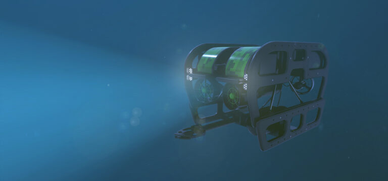
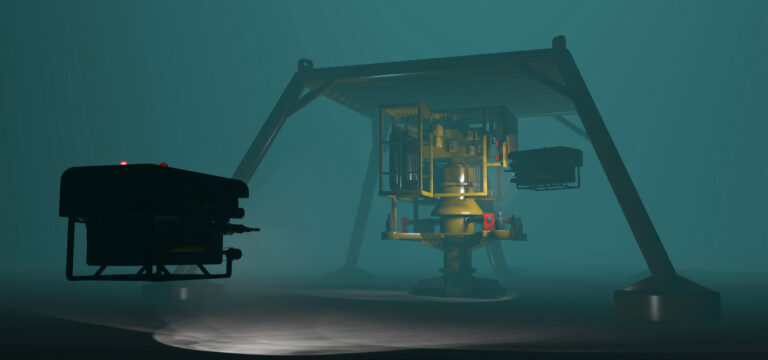
- SUPPORT AND MONITORING IN OPERATIONS, STRUCTURE ANALYSES, ROUTINE INSPECTION, AND OTHER SERVICES THAT DEMAND ANY NATURE OF MARINE ANALYSES.
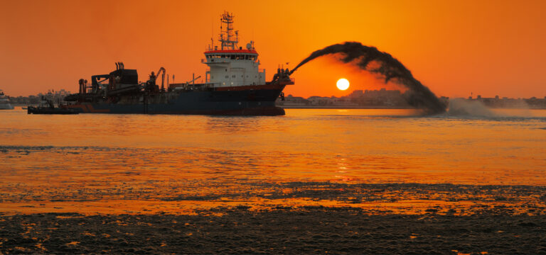
- MARINE BED PREPARATION RESEARCH FOR STRUCTURE CONSTRUCTION
- SUPPORT FOR INSTALLATION, DRILLING, MAINTENANCE, REPAIRS AND MUCH MORE


Brazil
- [email protected]
- 18.801 Nações Unidas Ave room 1817, São Paulo, SP 04795-100, Brazil
- (+55) 11 99148-8263